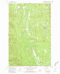
1965 Map of Salmon Prairie
USGS Topo · Published 1980About this map
Swan River carves through the center of this 1960s survey, a landscape defined by the overlapping boundaries of the Flathead National Forest and the Swan River State Forest. The geography is characterized by a series of high-altitude meadows and drainages, including Squeezer Meadow, Simmons Meadow, and Woodward Meadow. Human presence is concentrated around the Swan Lake Campground and the Salmon Prairie area, while the surrounding timberlands are accessed by a network of unimproved roads and historical routes like the Lion Creek Trail. Small water bodies such as Van Lake and the seasonally fluctuating Dry Lake dot the terrain, illustrating the hydrologic complexity of the Swan Valley. A solitary Gravel Pit and the Swan Lake 12 Mi. State Forest Hdqrs point to the area's ongoing use for resource management and conservation.
Find a feature on this map
28 named features on this map. Tap any name to fly to it.
Don’t see what you’re looking for? This feature index may not catch every label — zoom into the map to look around manually.
Map Details
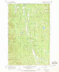
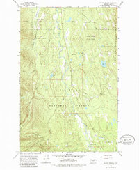
Editions of this 1965 Salmon Prairie Map
3 editions found
Other maps of this area

1955 · Choteau
USGS Topo · 1:250,000

1957 · Choteau
USGS Topo · 1:250,000

1958 · Choteau
USGS Topo · 1:250,000

1962 · Choteau
USGS Topo · 1:250,000

1965 · Peck Lake
USGS Topo · 1:24,000

1965 · Condon
USGS Topo · 1:24,000
1965 · Thunderbolt Mountain
USGS Topo · 1:24,000

1965 · Swan Peak
USGS Topo · 1:24,000
1965 · Piper-Crow Pass
USGS Topo · 1:24,000
1965 · Cilly Creek
USGS Topo · 1:24,000