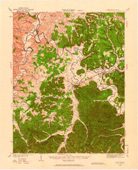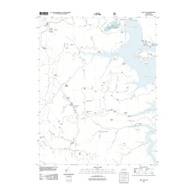
2022 Map of Salt Lick
USGS Topo · Published 2022About this map
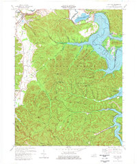
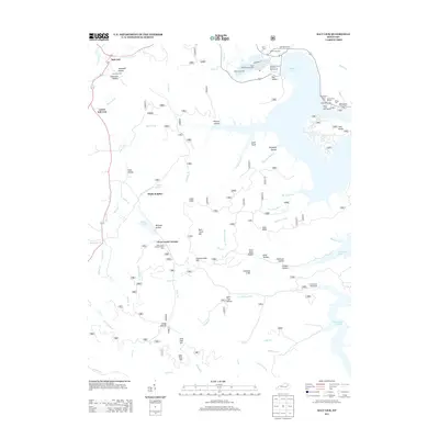
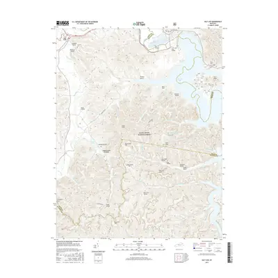
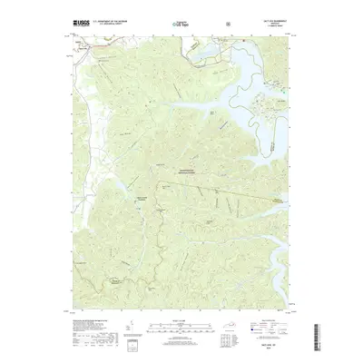
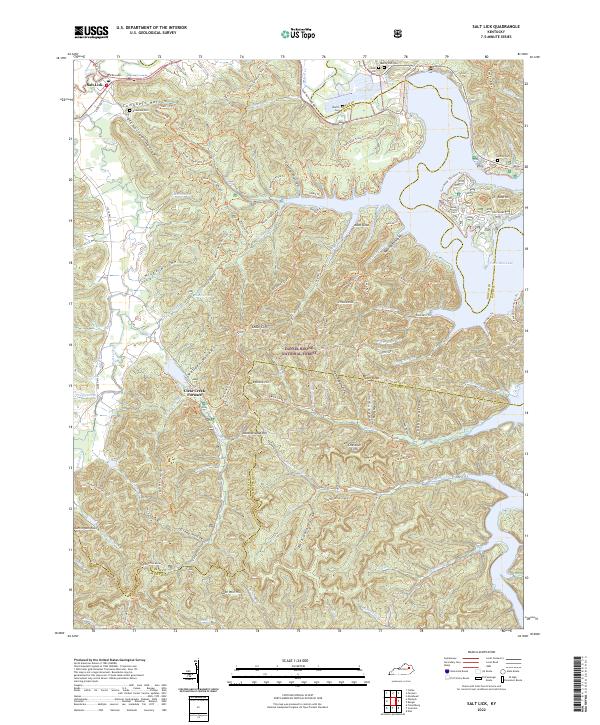
Clear Creek Furnace stands as a significant industrial landmark within the heart of the Daniel Boone National Forest, where the terrain of eastern Kentucky breaks into a complex of ridges and hollows. The landscape is defined by its deep drainages like Wolfpen Hollow and Dickerson Hollow, which feed into the extensive Salt Lick Cr system. To the east, the waters of Cave Run Lake meet the steep slopes of Chestnut Cliffs and Cedar Cliffs, creating a shoreline that serves as a hub for modern recreation at Twin Knobs.
Find a feature on this map
91 named features on this map. Tap any name to fly to it.
Don’t see what you’re looking for? This feature index may not catch every label — zoom into the map to look around manually.
Map Details
Editions of this 2022 Salt Lick Map
This is the sole edition of this map. No revisions or reprints were ever made.
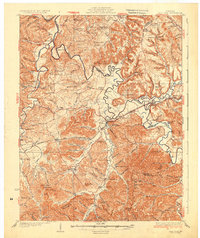
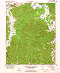
Historical Maps of Salt Lick Through Time
9 maps found