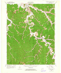
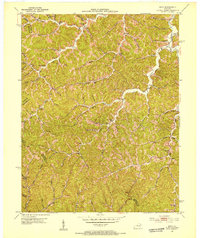
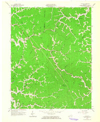
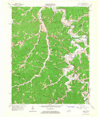
1962 Map of Salyersville South
USGS Topo · Published 1964This historical map portrays the area of Salyersville South in 1962, primarily covering Magoffin County as well as portions of Breathitt County. Featuring a scale of 1:24000, this map provides a highly detailed snapshot of the terrain, roads, buildings, counties, and historical landmarks in the Salyersville South region at the time. Published in 1964, it is one of 3 known editions of this map due to revisions or reprints.
Find a feature on this map
66 named features on this map. Tap any name to fly to it.
Don’t see what you’re looking for? This feature index may not catch every label — zoom into the map to look around manually.
Map Details
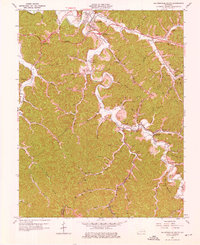
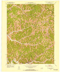
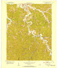
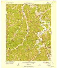
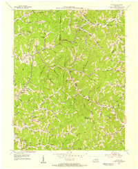
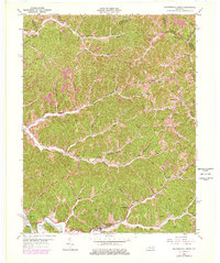
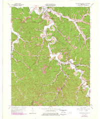
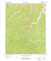
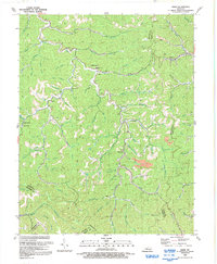
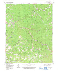
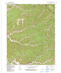
Editions of this 1962 Salyersville South Map
3 editions found
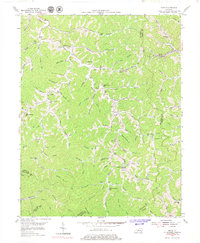
Historical Maps of Sublett Through Time
14 maps found
1951 Salyersville North
Magoffin County, KY
1951 Salyersville South
Magoffin County, KY
1951 Seitz
Magoffin County, KY
1951 White Oak
Magoffin County, KY
1953 Ivyton
Magoffin County, KY
1954 David
Magoffin County, KY
1962 Ivyton
Magoffin County, KY
1962 Salyersville North
Magoffin County, KY
1962 Salyersville South
Magoffin County, KY
1965 Seitz
Magoffin County, KY
1965 White Oak
Magoffin County, KY
1992 David
Magoffin County, KY
1992 Ivyton
Magoffin County, KY
1992 Salyersville North
Magoffin County, KY