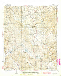
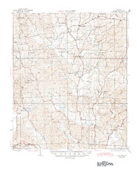
1928 Map of Samantha
USGS Topo · Published 1945About this map
The North River dominates the eastern half of this landscape, winding through a network of creeks and timbered ridges in northern Tuscaloosa County. Settled rural communities like Samantha and Bell City appear as collections of homesteads anchored by country stores and denominational landmarks. The survey captures a high density of rural institutions, such as Haygood Chapel, Philadelphia Ch, and Nazareth Ch, alongside small schoolhouses like Trawick Sch and Glenn Sch.
Find a feature on this map
76 named features on this map. Tap any name to fly to it.
Don’t see what you’re looking for? This feature index may not catch every label — zoom into the map to look around manually.
Map Details
Editions of this 1928 Samantha Map
6 editions found
Other maps of this area

1893 · Jasper
USGS Topo · 1:125,000

1899 · Brookwood
USGS Topo · 1:125,000

1924 · Tuscaloosa
USGS Topo · 1:62,500

1926 · Samantha
USGS Topo · 1:48,000

1926 · Tuscaloosa
USGS Topo · 1:62,500

1928 · Samantha
USGS Topo · 1:62,500

1929 · Searles
USGS Topo · 1:48,000

1931 · Cottondale
USGS Topo · 1:48,000

1934 · Searles
USGS Topo · 1:62,500

1934 · Cottondale
USGS Topo · 1:62,500