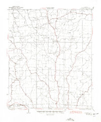
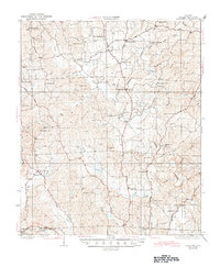
1928 Map of Samantha
USGS Topo · Published 1945About this map
Samantha serves as a central hub for the rural landscape of northern Tuscaloosa County during the mid-1920s. The settlement pattern is defined by family-named landmarks and rural infrastructure, with small commercial points like Barnetts Store, Longs Store, and Prices Store situated along the early road network. The map reveals a deeply religious and educational social fabric, documented through numerous country churches and schools such as Bethabara Ch, Phillips Chapel, and the Oregonia Sch.
Find a feature on this map
70 named features on this map. Tap any name to fly to it.
Don’t see what you’re looking for? This feature index may not catch every label — zoom into the map to look around manually.
Map Details
Editions of this 1928 Samantha Map
6 editions found
Other maps of this area

1893 · Jasper
USGS Topo · 1:125,000

1899 · Brookwood
USGS Topo · 1:125,000

1924 · Tuscaloosa
USGS Topo · 1:62,500

1926 · Samantha
USGS Topo · 1:48,000

1926 · Tuscaloosa
USGS Topo · 1:62,500

1928 · Samantha
USGS Topo · 1:62,500

1929 · Searles
USGS Topo · 1:48,000

1931 · Cottondale
USGS Topo · 1:48,000

1934 · Searles
USGS Topo · 1:62,500

1934 · Cottondale
USGS Topo · 1:62,500