
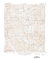
1928 Map of Samantha
USGS Topo · Published 1928About this map
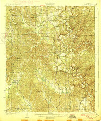
The Byler Road cuts a historic path through northern Tuscaloosa County, anchoring a landscape of scattered rural communities just before the close of the 1920s. Centered on Samantha, this survey illustrates a densely settled agrarian region where social life revolved around a network of country schools and churches like Haywood Chapel and Philadelphia Ch. Small commercial hubs such as Prices Store and Burnetts Store provided essential services along the winding routes connecting the highlands to the North River basin. The terrain is defined by deep creek valleys, including Binion Creek and Carroll Creek, which dictated the placement of early settlements like McConnells and Bell City. Researchers can trace the placement of numerous family-named landmarks and schools, such as Trawick Sch and Barbee Sch, which have since undergone significant change or consolidation.
Find a feature on this map
59 named features on this map. Tap any name to fly to it.
Don’t see what you’re looking for? This feature index may not catch every label — zoom into the map to look around manually.
Map Details
Editions of this 1928 Samantha Map
6 editions found
Other maps of this area

1893 · Jasper
USGS Topo · 1:125,000

1899 · Brookwood
USGS Topo · 1:125,000

1924 · Tuscaloosa
USGS Topo · 1:62,500

1926 · Samantha
USGS Topo · 1:48,000

1926 · Tuscaloosa
USGS Topo · 1:62,500

1929 · Searles
USGS Topo · 1:48,000

1931 · Cottondale
USGS Topo · 1:48,000

1934 · Searles
USGS Topo · 1:62,500

1934 · Cottondale
USGS Topo · 1:62,500

1949 · Wiley
USGS Topo · 1:24,000