
1949 Map of Samuels
USGS Topo · Published 1953About this map
Bernheim Forest anchors the southwestern landscape of this Kentucky quadrangle, where the Bullitt and Nelson County line cuts through a series of steep ridges and deep hollows. The terrain transitions from the protected woodlands of Rice Orchard Ridge and Spicewood Flat into a rolling agricultural corridor defined by the Salt River and its many tributaries, including Cedar Creek and Greens Branch. Settlement patterns in the late 1940s follow the Louisville and Nashville railroad line, which connects the small hubs of Samuels and Deatsville.
Find a feature on this map
35 named features on this map. Tap any name to fly to it.
Don’t see what you’re looking for? This feature index may not catch every label — zoom into the map to look around manually.
Map Details
Editions of this 1949 Samuels Map
This is the sole edition of this map. No revisions or reprints were ever made.
Other maps of this area

1907 · Louisville
USGS Topo · 1:62,500

1929 · Taylorsville
USGS Topo · 1:62,500

1949 · Cravens
USGS Topo · 1:24,000

1949 · Shepherdsville
USGS Topo · 1:24,000

1949 · Shepherdsville
USGS Topo · 1:62,500

1951 · Waterford
USGS Topo · 1:24,000
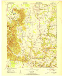
1951 · Brooks
USGS Topo · 1:24,000

1951 · Mount Washington
USGS Topo · 1:24,000
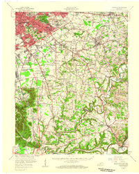
1951 · Louisville
USGS Topo · 1:62,500

1953 · Bardstown
USGS Topo · 1:24,000