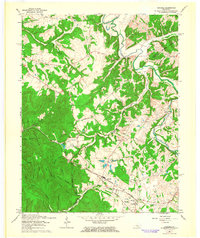
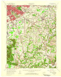
1962 Map of Samuels
USGS Topo · Published 1964About this map
The boundary between Bullitt Co and Nelson Co cuts through this rural landscape during a period of steady post-war development in central Kentucky. The topography is defined by the significant reaches of Bernheim Forest and the winding course of the Salt River in the north. Settlement is concentrated along the Louisville and Nashville railroad line, which connects small communities like Deatsville and Samuels. Social life in these hamlets centers around institutions like St Gregorys Ch and its accompanying St Gregorys Sch, while further north, New Salem Ch serves the residents near Henpeck. The map also captures the intricate drainage system of Cox Creek, Wilson Creek, and Cedar Creek, which carved out the numerous hollows—such as Ashlock Hollow and Shepler Hollow—that dictate the area's winding road network, including the path of Woodsdale Road.
Find a feature on this map
42 named features on this map. Tap any name to fly to it.
Don’t see what you’re looking for? This feature index may not catch every label — zoom into the map to look around manually.
Map Details
Editions of this 1962 Samuels Map
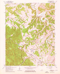
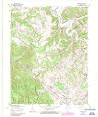
3 editions found
Other maps of this area

1907 · Louisville
USGS Topo · 1:62,500

1929 · Taylorsville
USGS Topo · 1:62,500

1949 · Cravens
USGS Topo · 1:24,000

1949 · Shepherdsville
USGS Topo · 1:24,000

1949 · Samuels
USGS Topo · 1:24,000

1949 · Shepherdsville
USGS Topo · 1:62,500

1951 · Waterford
USGS Topo · 1:24,000
1951 · Brooks
USGS Topo · 1:24,000

1951 · Mount Washington
USGS Topo · 1:24,000
1951 · Louisville
USGS Topo · 1:62,500