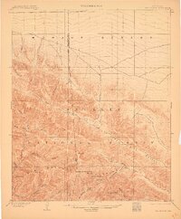
1903 Map of San Antonio
USGS Topo · Published 1910About this map
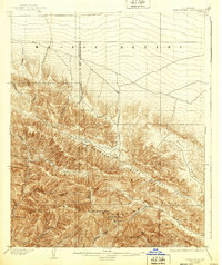
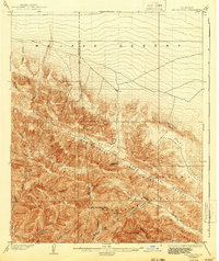
The San Antonio Mountains dominate this 1899-1900 survey, rising sharply where the high desert meets the forest. Centered on San Antonio Peak, the map captures the transition from the arid Mojave Desert into the densely drainage-fed slopes of the Angeles National Forest. Local landmarks like the Devils Backbone and Telegraph Peak overlook a landscape of deep canyons and seasonal waterways.
Find a feature on this map
36 named features on this map. Tap any name to fly to it.
Don’t see what you’re looking for? This feature index may not catch every label — zoom into the map to look around manually.
Map Details
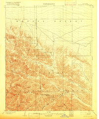
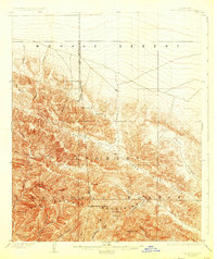
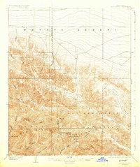
Editions of this 1903 San Antonio Map
7 editions found

Other maps of this area

1894 · Pomona
USGS Topo · 1:62,500

1896 · San Bernardino
USGS Topo · 1:62,500

1897 · Pomona
USGS Topo · 1:62,500

1897 · Cucamonga
USGS Topo · 1:62,500

1898 · Pomona
USGS Topo · 1:62,500

1898 · San Bernardino
USGS Topo · 1:62,500

1900 · Cucamonga
USGS Topo · 1:62,500

1901 · Southern California Sheet No. 1
USGS Topo · 1:250,000

1901 · San Bernardino
USGS Topo · 1:62,500

1902 · Hesperia
USGS Topo · 1:62,500