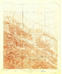
1903 Map of San Antonio
USGS Topo · Published 1925About this map
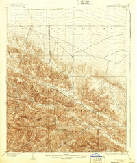
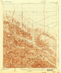
San Antonio Peak and the surrounding high country of the San Antonio National Forest dominate this landscape as it was documented at the turn of the century. The map captures the meeting point of the high mountains and the Mohave Desert to the north, with the Los Angeles Co San Bernardino Co line traversing the steep ridges. Significant drainages like Lytle Creek and San Antonio Canyon cut through the terrain, indicating the complex water systems that would become vital for the growing communities at the mountain base. Smaller landmarks such as Mine Gulch and Vincent Gulch point to early prospecting and mining interests in these canyons. The presence of Swartout Valley and the Lone Pine Canyon fault line shows the natural pathways through this transition between desert and alpine environments.
Find a feature on this map
32 named features on this map. Tap any name to fly to it.
Don’t see what you’re looking for? This feature index may not catch every label — zoom into the map to look around manually.
Map Details
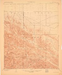
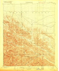
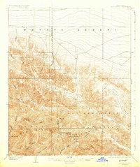
Editions of this 1903 San Antonio Map
7 editions found

Other maps of this area

1894 · Pomona
USGS Topo · 1:62,500

1896 · San Bernardino
USGS Topo · 1:62,500

1897 · Pomona
USGS Topo · 1:62,500

1897 · Cucamonga
USGS Topo · 1:62,500

1898 · Pomona
USGS Topo · 1:62,500

1898 · San Bernardino
USGS Topo · 1:62,500

1900 · Cucamonga
USGS Topo · 1:62,500

1901 · Southern California Sheet No. 1
USGS Topo · 1:250,000

1901 · San Bernardino
USGS Topo · 1:62,500

1902 · Hesperia
USGS Topo · 1:62,500