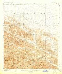
1903 Map of San Antonio
USGS Topo · Published 1931About this map
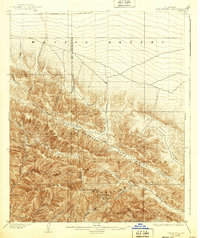
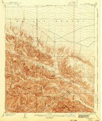
San Antonio Peak and the high ridges of the San Gabriel Mountains dominate this early 20th-century survey, illustrating the complex drainage systems that define the Southern California interior. The map documents the transition from the steep alpine terrain of the San Bernardino National Forest down into the northern expanse of the Mohave Desert. Deep river systems like the San Gabriel River and its various tributaries, including Iron Fork and Fish Fork, have carved narrow passages such as The Narrows. Along the high ridges, landmarks like the Devils Backbone and Telegraph Peak provide a glimpse into the verticality of the landscape before modern infrastructure reached these summits. To the east, the long, straight alignment of Lone Pine Canyon and Swarthout Valley follows the structural lines of the region's geography, connecting the high peaks to the lower alluvial fans and the widening Cajon Canyon.
Find a feature on this map
41 named features on this map. Tap any name to fly to it.
Don’t see what you’re looking for? This feature index may not catch every label — zoom into the map to look around manually.
Map Details
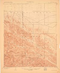
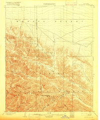
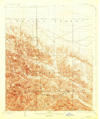
Editions of this 1903 San Antonio Map
7 editions found

Other maps of this area

1894 · Pomona
USGS Topo · 1:62,500

1896 · San Bernardino
USGS Topo · 1:62,500

1897 · Pomona
USGS Topo · 1:62,500

1897 · Cucamonga
USGS Topo · 1:62,500

1898 · Pomona
USGS Topo · 1:62,500

1898 · San Bernardino
USGS Topo · 1:62,500

1900 · Cucamonga
USGS Topo · 1:62,500

1901 · Southern California Sheet No. 1
USGS Topo · 1:250,000

1901 · San Bernardino
USGS Topo · 1:62,500

1902 · Hesperia
USGS Topo · 1:62,500