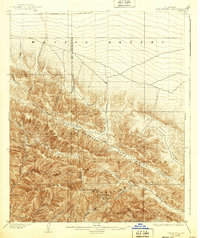
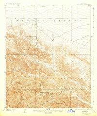
1903 Map of San Antonio
USGS Topo · Published 1939About this map
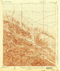
The San Gabriel Mountains dominate this high-altitude landscape where the San Andreas Rift Zone slices through the terrain, separating the mountain peaks from the Mojave Desert to the north. Surveyed at the turn of the century by W.T.Turner, the map reveals a rugged wilderness defined by steep canyons and prominent summits like San Antonio Peak and Telegraph Peak. The geography is bisected by the boundary line between Los Angeles and San Bernardino counties, cutting across the Swarthout Valley.
Find a feature on this map
33 named features on this map. Tap any name to fly to it.
Don’t see what you’re looking for? This feature index may not catch every label — zoom into the map to look around manually.
Map Details
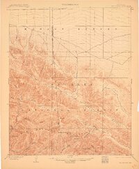
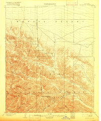
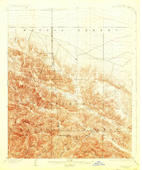
Editions of this 1903 San Antonio Map
7 editions found

Other maps of this area

1894 · Pomona
USGS Topo · 1:62,500

1896 · San Bernardino
USGS Topo · 1:62,500

1897 · Pomona
USGS Topo · 1:62,500

1897 · Cucamonga
USGS Topo · 1:62,500

1898 · Pomona
USGS Topo · 1:62,500

1898 · San Bernardino
USGS Topo · 1:62,500

1900 · Cucamonga
USGS Topo · 1:62,500

1901 · Southern California Sheet No. 1
USGS Topo · 1:250,000

1901 · San Bernardino
USGS Topo · 1:62,500

1902 · Hesperia
USGS Topo · 1:62,500