
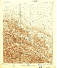
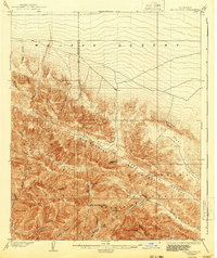
1903 Map of San Antonio
USGS Topo · Published 1903About this map
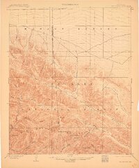
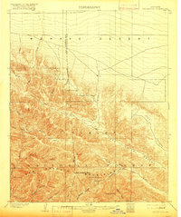
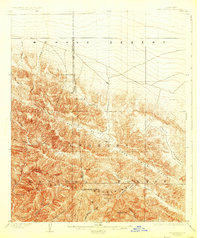
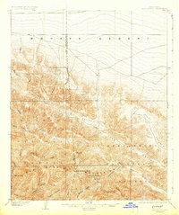
San Antonio Peak towers over this turn-of-the-century topographic landscape, marking the high divide between the harsh Mohave Desert and the river-fed canyons to the south. Surveyed at the dawn of the 1900s, this area is dominated by the San Gabriel Timber Land Reserve, a precursor to today's national forest system, reflecting early federal efforts to manage western water and timber resources. The map details a labyrinth of steep drainage systems, including Lytle Creek and the Prairie Fork, where narrow passes like The Narrows and named landmarks like Devils Backbone defined early travel. Local topography is shaped by the presence of a solitary Trail and several prominent peaks such as Telegraph Peak and Iron Mt., providing a clear picture of the region before modern infrastructure transformed the gateway between the high desert and the southern California valleys.
Find a feature on this map
34 named features on this map. Tap any name to fly to it.
Don’t see what you’re looking for? This feature index may not catch every label — zoom into the map to look around manually.
Map Details
Editions of this 1903 San Antonio Map
7 editions found
Other maps of this area

1894 · Pomona
USGS Topo · 1:62,500

1896 · San Bernardino
USGS Topo · 1:62,500

1897 · Pomona
USGS Topo · 1:62,500

1897 · Cucamonga
USGS Topo · 1:62,500

1898 · Pomona
USGS Topo · 1:62,500

1898 · San Bernardino
USGS Topo · 1:62,500

1900 · Cucamonga
USGS Topo · 1:62,500

1901 · Southern California Sheet No. 1
USGS Topo · 1:250,000

1901 · San Bernardino
USGS Topo · 1:62,500

1902 · Hesperia
USGS Topo · 1:62,500