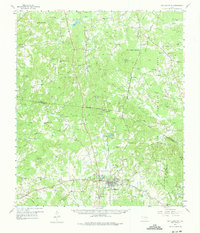
1958 Map of San Augustine
USGS Topo · Published 1975About this map
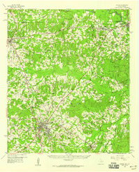
San Augustine serves as the focal point of this late-1950s landscape, positioned at a historic crossroads where the Gulf Colorado and Santa Fe Railroad meets the legendary El Camino Real. The area is defined by a dense network of timberlands and rural communities, including Neuville, Denning, and East Liberty, each supported by local institutions like the East Liberty Sch and numerous country churches such as China Chapel Ch.
Find a feature on this map
113 named features on this map. Tap any name to fly to it.
Don’t see what you’re looking for? This feature index may not catch every label — zoom into the map to look around manually.
Map Details
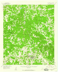
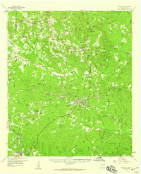
Editions of this 1958 San Augustine Map
2 editions found
Other maps of this area

1944 · Logansport
USGS Topo · 1:62,500

1944 · Patroon
USGS Topo · 1:62,500

1953 · Alexandria
USGS Topo · 1:250,000

1953 · Palestine
USGS Topo · 1:250,000

1955 · Alexandria
USGS Topo · 1:250,000
1956 · Logansport
USGS Topo · 1:62,500
1956 · Patroon
USGS Topo · 1:62,500

1957 · Palestine
USGS Topo · 1:250,000
1958 · Center
USGS Topo · 1:62,500
1958 · Hemphill
USGS Topo · 1:62,500