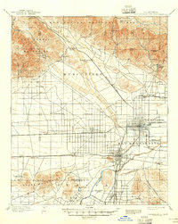
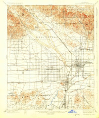
1901 Map of San Bernardino
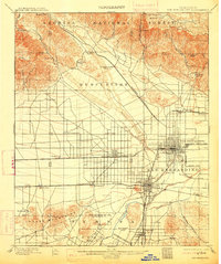
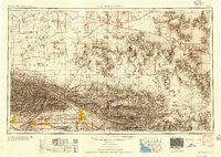
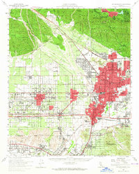
USGS Topo · Published 1946About this map
San Bernardino serves as a thriving hub for Southern California’s citrus and rail economy at the turn of the century. The city is the convergence point for an extensive network of transit lines, including the Southern Pacific R. R. and specialized transit such as the San Bernardino Highlands Motor Line and the Redlands Motor Line. To the north, the terrain rises sharply into the San Bernardino National Forest and the San Gabriel Mountains, where the Cajon Canyon provides a vital passage for the Southern California R. R..
Find a feature on this map
58 named features on this map. Tap any name to fly to it.
Don’t see what you’re looking for? This feature index may not catch every label — zoom into the map to look around manually.
Map Details
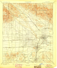
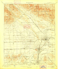
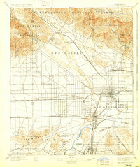
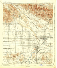
Editions of this 1901 San Bernardino Map
8 editions found

Historical Maps of Riverside Through Time
12 maps found

1896 San Bernardino
San Bernardino County, CA

1898 San Bernardino
San Bernardino County, CA
1901 San Bernardino
San Bernardino County, CA

1942 San Bernardino
San Bernardino County, CA
1953 San Bernardino
San Bernardino County, CA
1954 San Bernardino
San Bernardino County, CA

1956 San Bernardino
San Bernardino County, CA

1957 San Bernardino
San Bernardino County, CA

1958 San Bernardino
San Bernardino County, CA

1959 San Bernardino
San Bernardino County, CA

1966 San Bernardino
San Bernardino County, CA

1982 San Bernardino
San Bernardino County, CA