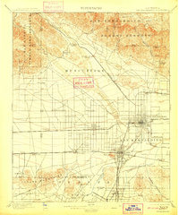
1901 Map of San Bernardino
USGS Topo · Published 1909About this map
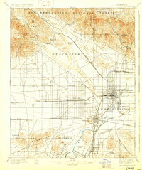
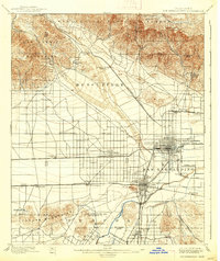
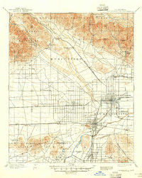
Colton and San Bernardino stand as central hubs in this late 19th-century landscape, where a dense network of steam and motor lines converges at the foot of the San Bernardino Forest Reserve. The map details an era of rapid citrus expansion and rail development, with the Southern Pacific R. R. and the San Bernardino Highlands Motor Line knitting together established towns like Rialto and Bloomington with smaller agricultural outposts.
Find a feature on this map
65 named features on this map. Tap any name to fly to it.
Don’t see what you’re looking for? This feature index may not catch every label — zoom into the map to look around manually.
Map Details
Editions of this 1901 San Bernardino Map
8 editions found
Other maps of this area

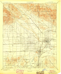
1896 · San Bernardino
USGS Topo · 1:62,500

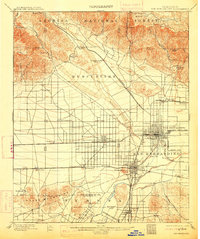
1897 · Cucamonga
USGS Topo · 1:62,500

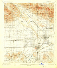
1898 · San Bernardino
USGS Topo · 1:62,500

1899 · Redlands
USGS Topo · 1:62,500

1900 · Cucamonga
USGS Topo · 1:62,500

1901 · Southern California Sheet No. 1
USGS Topo · 1:250,000

1901 · San Bernardino
USGS Topo · 1:62,500

1901 · Redlands
USGS Topo · 1:62,500

1901 · Elsinore
USGS Topo · 1:125,000

1901 · Riverside
USGS Topo · 1:62,500