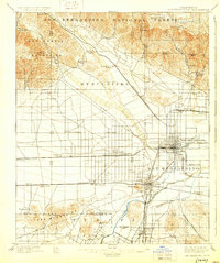
1901 Map of San Bernardino
USGS Topo · Published 1929About this map
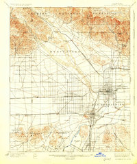
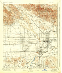
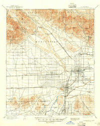
San Bernardino stands as the primary hub of this late-nineteenth-century landscape, situated at the base of the San Bernardino National Forest and San Gabriel Mountains. The map reveals a complex web of early transportation, including the Southern California R. R. and the Highlands Motor Line, which facilitated growth in neighboring towns like Colton and Rialto. The irrigation-driven development of the San Bernardino Valley is evident through the presence of the Gage Canal and agricultural outposts such as Glen Helen Ranch and Grapeland.
Find a feature on this map
58 named features on this map. Tap any name to fly to it.
Don’t see what you’re looking for? This feature index may not catch every label — zoom into the map to look around manually.
Map Details
Editions of this 1901 San Bernardino Map
8 editions found
Other maps of this area

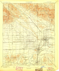
1896 · San Bernardino
USGS Topo · 1:62,500

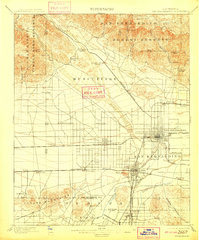
1897 · Cucamonga
USGS Topo · 1:62,500

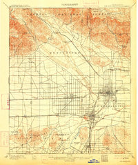
1898 · San Bernardino
USGS Topo · 1:62,500

1899 · Redlands
USGS Topo · 1:62,500

1900 · Cucamonga
USGS Topo · 1:62,500

1901 · Southern California Sheet No. 1
USGS Topo · 1:250,000

1901 · San Bernardino
USGS Topo · 1:62,500

1901 · Redlands
USGS Topo · 1:62,500

1901 · Elsinore
USGS Topo · 1:125,000

1901 · Riverside
USGS Topo · 1:62,500