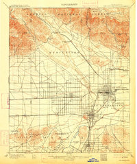
1901 Map of San Bernardino
USGS Topo · Published 1913About this map
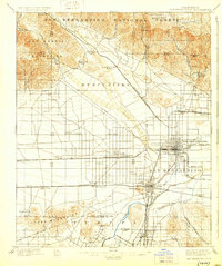
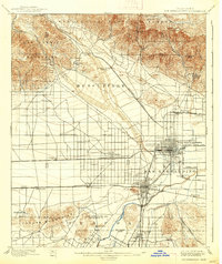
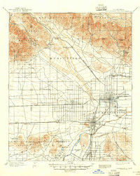
San Bernardino anchors this landscape at a time when the citrus and rail industries were beginning to reshape the valley floor. To the north, the steep slopes of the Angeles National Forest are carved by deep canyons such as Cajon Canyon and Waterman Canyon, which served as critical conduits for early travel. The map captures the early infrastructure of the region, including the Gage Canal and numerous rail lines like the Southern Pacific R. R. and the Highlands Motor Line connecting growing agricultural hubs.
Find a feature on this map
55 named features on this map. Tap any name to fly to it.
Don’t see what you’re looking for? This feature index may not catch every label — zoom into the map to look around manually.
Map Details
Editions of this 1901 San Bernardino Map
8 editions found
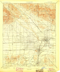
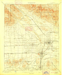
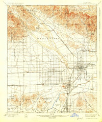
Other maps of this area

1896 · San Bernardino
USGS Topo · 1:62,500

1897 · Cucamonga
USGS Topo · 1:62,500

1898 · San Bernardino
USGS Topo · 1:62,500

1899 · Redlands
USGS Topo · 1:62,500

1900 · Cucamonga
USGS Topo · 1:62,500

1901 · Southern California Sheet No. 1
USGS Topo · 1:250,000

1901 · San Bernardino
USGS Topo · 1:62,500

1901 · Redlands
USGS Topo · 1:62,500

1901 · Elsinore
USGS Topo · 1:125,000

1901 · Riverside
USGS Topo · 1:62,500