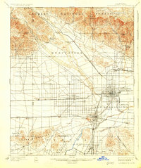
1901 Map of San Bernardino
USGS Topo · Published 1926About this map
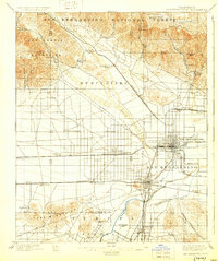
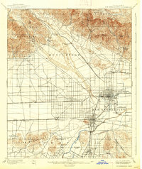
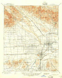
The San Bernardino valley at the end of the nineteenth century is captured here as a landscape transitioning from ranching to an organized citrus and industrial hub. The San Bernardino Base Line bisects a grid of developing settlements, including Rialto, Bloomington, and Colton, while the northern mountains are dominated by the Angeles National Forest. Significant transportation corridors are already established, with the Southern California RR and Southern Pacific RR threading through the valley. Local industry is evident at the Quarry in Declezville and near Slover Mt, while the agricultural future of the region is signaled by the path of the Gage Canal near the Santa Ana River. Notable early landmarks like the Toll House in Waterman Canyon and the Glen Helen Ranch reflect the era's reliance on canyon passes for movement between the high desert and the basin.
Find a feature on this map
55 named features on this map. Tap any name to fly to it.
Don’t see what you’re looking for? This feature index may not catch every label — zoom into the map to look around manually.
Map Details
Editions of this 1901 San Bernardino Map
8 editions found
Other maps of this area

1896 · San Bernardino
USGS Topo · 1:62,500

1897 · Cucamonga
USGS Topo · 1:62,500

1898 · San Bernardino
USGS Topo · 1:62,500

1899 · Redlands
USGS Topo · 1:62,500

1900 · Cucamonga
USGS Topo · 1:62,500

1901 · Southern California Sheet No. 1
USGS Topo · 1:250,000

1901 · San Bernardino
USGS Topo · 1:62,500

1901 · Redlands
USGS Topo · 1:62,500

1901 · Elsinore
USGS Topo · 1:125,000

1901 · Riverside
USGS Topo · 1:62,500