
1955 Map of San Elizario
USGS Topo · Published 1967About this map
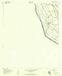
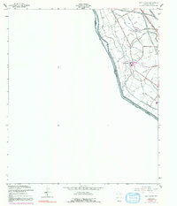
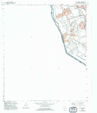
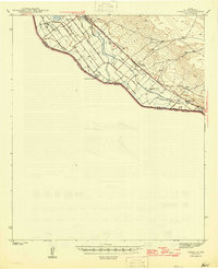
San Elizario serves as the focal point of this borderland study, situated along a complex network of irrigation and drainage infrastructure in the Rio Grande Valley. The landscape is defined by the proximity of the United States-Mexico border and the Texas-Chihuahua line, where the Rio Grande and the Riverside Canal run nearly parallel. The settlement pattern reveals a town deeply integrated with its agricultural surroundings, featuring a local Church and Cem positioned near the dense web of waterways like the San Elizario Lateral and Del Monte Lateral. Transportation is anchored by the historic Jefferson Davis Highway (Old Spanish Trail) to the north and the South Loop Road to the south. This 1950s documentation, updated in the late 1960s, highlights the essential role of water management through features such as the Agrias Canas Drain and Camino De La Rosa Lateral, which sustained the valley's productivity.
Find a feature on this map
23 named features on this map. Tap any name to fly to it.
Don’t see what you’re looking for? This feature index may not catch every label — zoom into the map to look around manually.
Map Details
Editions of this 1955 San Elizario Map
4 editions found
Other maps of this area

1896 · El Paso
USGS Topo · 1:125,000

1896 · Rio Grande
USGS Topo · 1:125,000

1908 · El Paso
USGS Topo · 1:125,000

1939 · Ysleta
USGS Topo · 1:62,500

1941 · Clint
USGS Topo · 1:62,500

1941 · Ysleta
USGS Topo · 1:62,500

1941 · Tornillo
USGS Topo · 1:62,500

1945 · Ysleta
USGS Topo · 1:62,500
1945 · Clint
USGS Topo · 1:62,500
1945 · Tornillo
USGS Topo · 1:62,500