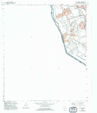
1955 Map of San Elizario
USGS Topo · Published 1995About this map
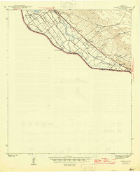
San Elizario occupies the center of this 1950s-era landscape, where the international boundary between the United States of America and Estados Unidos Mexicanos is defined by the winding course of the Rio Bravo. The agricultural character of the El Paso Valley is clearly visible through an intricate network of irrigation and drainage infrastructure. This includes the major Rio Grande Riverside Canal and numerous smaller water systems like the San Elizario Lateral, Clint Lateral, and Perez Drain. The map reveals a transition from the structured residential blocks of the settlement to the surrounding fields, punctuated by a local Cem and family-named roads such as Rodriguez Road. This survey, revised from mid-century aerial photography, documents the vital relationship between the river and the desert agriculture that sustained these border communities before modern expansion altered the valley floor.
Find a feature on this map
30 named features on this map. Tap any name to fly to it.
Don’t see what you’re looking for? This feature index may not catch every label — zoom into the map to look around manually.
Map Details
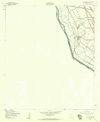
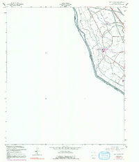
Editions of this 1955 San Elizario Map
4 editions found

Other maps of this area

1896 · El Paso
USGS Topo · 1:125,000

1896 · Rio Grande
USGS Topo · 1:125,000

1908 · El Paso
USGS Topo · 1:125,000

1939 · Ysleta
USGS Topo · 1:62,500

1941 · Clint
USGS Topo · 1:62,500

1941 · Ysleta
USGS Topo · 1:62,500

1941 · Tornillo
USGS Topo · 1:62,500

1945 · Ysleta
USGS Topo · 1:62,500
1945 · Clint
USGS Topo · 1:62,500
1945 · Tornillo
USGS Topo · 1:62,500