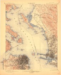
1899 Map of San Francisco
USGS Topo · Published 1911About this map
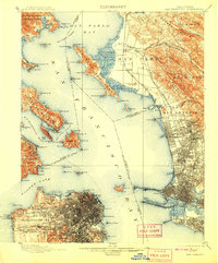
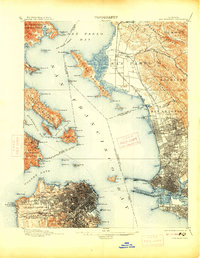
The urban footprint of the Bay Area during the late nineteenth century is meticulously detailed in this survey, showing a landscape defined by industrial expansion and early civic development. Within the city limits, the Pueblo Lands of San Francisco and San Miguel districts are dense with street grids, while landmarks like the Presidio and the U. S. Marine Hospital guard the entrance to the Golden Gate. Across the water, the East Bay shoreline is a network of rail-dependent communities like West Berkeley, Emery, and Lorin, all connected to the massive Oakland Mole terminus and the S. P. R. R. Livermore Line. The map provides a rare look at the original shoreline and tidal marshes before decades of modern infill altered the geography of Oakland Harbor and the Deep Water Channel.
Find a feature on this map
125 named features on this map. Tap any name to fly to it.
Don’t see what you’re looking for? This feature index may not catch every label — zoom into the map to look around manually.
Map Details
Editions of this 1899 San Francisco Map
7 editions found
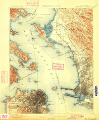
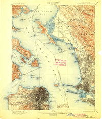
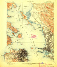
Other maps of this area

1892 · San Mateo
USGS Topo · 1:62,500

1895 · San Francisco
USGS Topo · 1:62,500

1896 · San Mateo
USGS Topo · 1:62,500

1896 · Carquinez Strait
USGS Topo · 1:62,500

1897 · Concord
USGS Topo · 1:62,500

1897 · Tamalpais
USGS Topo · 1:62,500

1898 · Karquines
USGS Topo · 1:62,500

1899 · San Francisco
USGS Topo · 1:62,500

1899 · Haywards
USGS Topo · 1:62,500

1899 · San Mateo
USGS Topo · 1:62,500