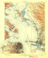
1899 Map of San Francisco
USGS Topo · Published 1908About this map
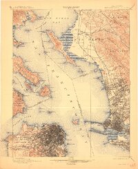
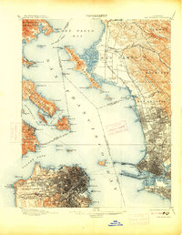
The Golden Gate stands as the dramatic entrance to a bustling maritime landscape before the construction of the famous bridges. In the late nineteenth century, the Presidio Military Reservation and Fort Mason guarded the southern shore, while the Pueblo Lands of San Francisco were already densely platted with a growing urban grid. Across the water, the Tiburon Peninsula and Angel Id. dominate the central bay, served by the N. P. Coast R. R. and the Southern Pacific R. R. networks. To the east, the University of California grounds are visible in North Berkeley, marking the region's burgeoning academic and residential growth. This survey captures a moment when the Oakland Mole and Deep Water Channel were critical hubs for the steam-and-rail economy of San Francisco Bay.
Find a feature on this map
112 named features on this map. Tap any name to fly to it.
Don’t see what you’re looking for? This feature index may not catch every label — zoom into the map to look around manually.
Map Details
Editions of this 1899 San Francisco Map
7 editions found
Other maps of this area

1892 · San Mateo
USGS Topo · 1:62,500

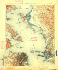
1895 · San Francisco
USGS Topo · 1:62,500

1896 · San Mateo
USGS Topo · 1:62,500

1896 · Carquinez Strait
USGS Topo · 1:62,500

1897 · Concord
USGS Topo · 1:62,500

1897 · Tamalpais
USGS Topo · 1:62,500

1898 · Karquines
USGS Topo · 1:62,500

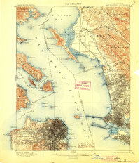
1899 · San Francisco
USGS Topo · 1:62,500

1899 · Haywards
USGS Topo · 1:62,500

1899 · San Mateo
USGS Topo · 1:62,500