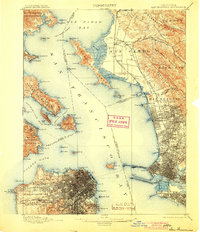
1899 Map of San Francisco
USGS Topo · Published 1904About this map
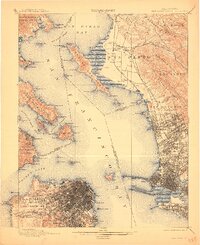
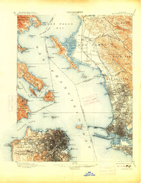
The Golden Gate stands as the primary entry point to this late-19th-century landscape of rapid urbanization and maritime expansion. San Francisco is shown in high detail, from the Presidio and Golden Gate Park to the clustered development around Lone Mt. Cem. and Fort Mason. Across the water, the East Bay shoreline is a corridor of industrial and transit growth, featuring the Oakland Mole and the terminus of the California and Nevada Railroad.
Find a feature on this map
125 named features on this map. Tap any name to fly to it.
Don’t see what you’re looking for? This feature index may not catch every label — zoom into the map to look around manually.
Map Details
Editions of this 1899 San Francisco Map
7 editions found
Other maps of this area

1892 · San Mateo
USGS Topo · 1:62,500

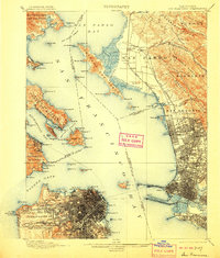
1895 · San Francisco
USGS Topo · 1:62,500

1896 · San Mateo
USGS Topo · 1:62,500

1896 · Carquinez Strait
USGS Topo · 1:62,500

1897 · Concord
USGS Topo · 1:62,500

1897 · Tamalpais
USGS Topo · 1:62,500

1898 · Karquines
USGS Topo · 1:62,500

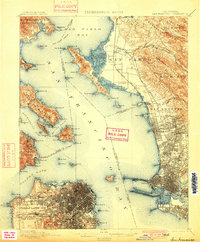
1899 · San Francisco
USGS Topo · 1:62,500

1899 · Haywards
USGS Topo · 1:62,500

1899 · San Mateo
USGS Topo · 1:62,500