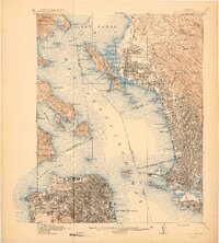
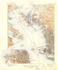
1915 Map of San Francisco
USGS Topo · Published 1915About this map
San Francisco and its thriving bayfront neighbors appear at a pivotal moment of growth just as the Panama-Pacific International Exposition, marked here as The Zone, redefined the city’s northern shore. The urban grid is densely established across Oakland, Berkeley, and Richmond, yet large swaths of the peninsula like Golden Gate Park and the western coastline near Cliff House retain a more open character. On the Contra Costa shore, the map documents industrial and maritime centers like the winery complex at Winehaven and the bustling rail terminals of the Oakland Mole. Across the waters of San Francisco Bay, isolated landmarks such as Alcatraz I and Goat I stand between the emerging metropolitan hubs. This survey captures the region's total reliance on its waterfront, from the military fortifications at the Presidio and Fort Baker to the extensive pier systems of the Southern Pacific RR.
Find a feature on this map
126 named features on this map. Tap any name to fly to it.
Don’t see what you’re looking for? This feature index may not catch every label — zoom into the map to look around manually.
Map Details
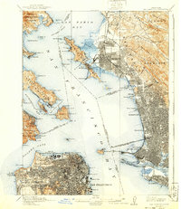
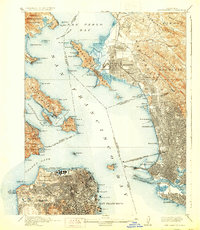
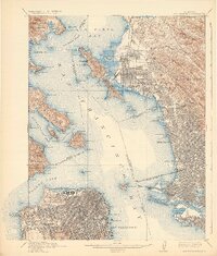
Editions of this 1915 San Francisco Map
6 editions found

Other maps of this area

1892 · San Mateo
USGS Topo · 1:62,500

1895 · San Francisco
USGS Topo · 1:62,500

1896 · San Mateo
USGS Topo · 1:62,500

1896 · Carquinez Strait
USGS Topo · 1:62,500

1897 · Concord
USGS Topo · 1:62,500

1897 · Tamalpais
USGS Topo · 1:62,500

1898 · Karquines
USGS Topo · 1:62,500

1899 · San Francisco
USGS Topo · 1:62,500

1899 · Haywards
USGS Topo · 1:62,500

1899 · San Mateo
USGS Topo · 1:62,500