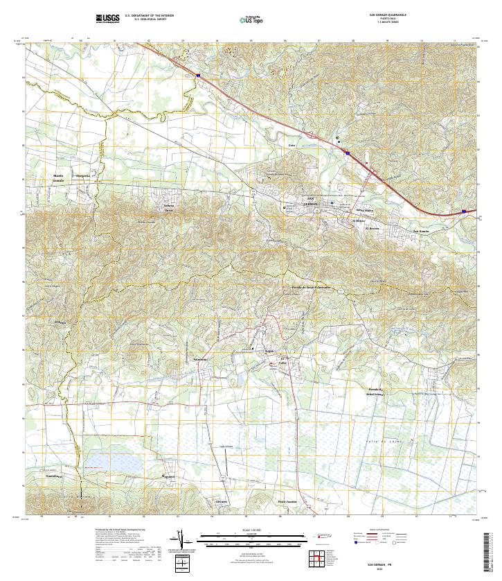
2024 Map of San German
USGS Topo · Published 2024About this map
The historic municipality of San Germán serves as the focal point of this coastal valley region, where the Universidad Interamericana de Puerto Rico stands as a prominent cultural landmark. The landscape transitions from the developed centers of Lajas and Santa Marta to the agricultural expanses of the Valle de Lajas. An intricate network of waterways, including the Río Guanajibo and the Canal Principal de Riego Valle de Lajas, illustrates the sophisticated irrigation and drainage systems vital to the area's history. To the south, the Laguna Cartagena National Wildlife Refuge and the heights of Sierra Bermeja define the southern limits of the valley, while local life is documented through features like the Cementerio de San Germán and the rural settlements of Sabana Eneas and Palmarejo.
Find a feature on this map
77 named features on this map. Tap any name to fly to it.
Don’t see what you’re looking for? This feature index may not catch every label — zoom into the map to look around manually.
Map Details
Editions of this 2024 San German Map
This is the sole edition of this map. No revisions or reprints were ever made.
Historical Maps of Sector Los Caobos Through Time
13 maps found

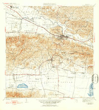
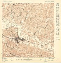
1937 San German
San Germán Municipio, PR

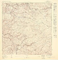
1941 Rosario
San Germán Municipio, PR
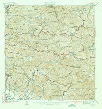
1941 San German
San Germán Municipio, PR
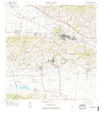
1942 Rosario
San Germán Municipio, PR
1950 Rosario SE
San Germán Municipio, PR
1950 San German NE
San Germán Municipio, PR

1950 San German NO
San Germán Municipio, PR

1955 Rosario
San Germán Municipio, PR

1957 San German
San Germán Municipio, PR

1964 Rosario
San Germán Municipio, PR
1966 San German
San Germán Municipio, PR
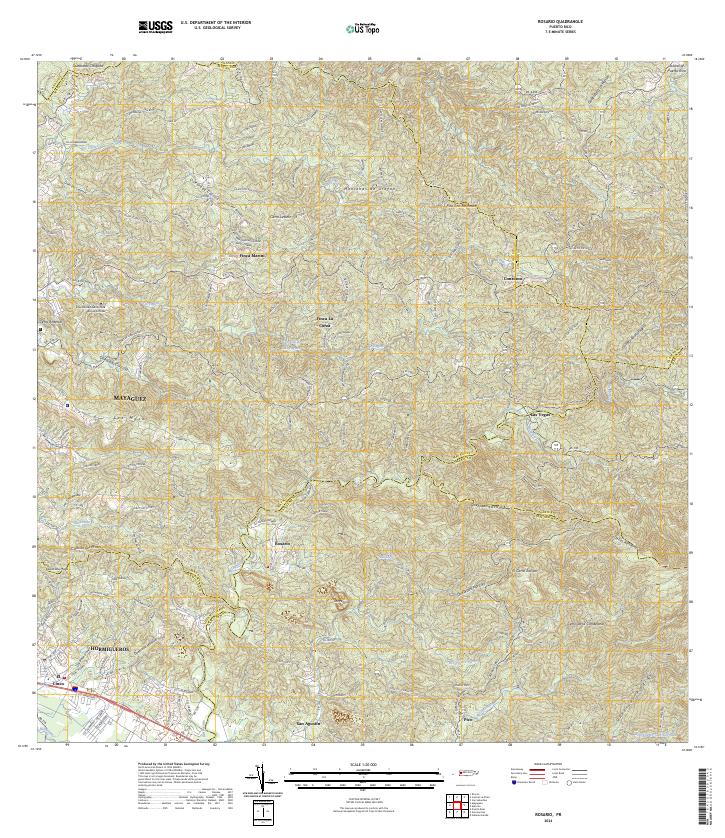
2024 Rosario
San Germán Municipio, PR
2024 San German
San Germán Municipio, PR