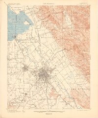
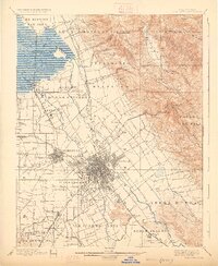
1899 Map of San Jose
USGS Topo · Published 1905About this map
The San Jose valley floor at the end of the nineteenth century appears as a highly organized landscape of tracts and ranchos. This survey, led by R.B. Marshall, captures the transition from vast Mexican-era land grants like Yerba Buena and Tularcitos into a dense grid of agricultural and suburban expansion. The city centers of San Jose and Santa Clara are firmly established, while outlying settlements like Willow Glen and College Park serve as distinct hubs along the Southern Pacific RR lines.
Find a feature on this map
70 named features on this map. Tap any name to fly to it.
Don’t see what you’re looking for? This feature index may not catch every label — zoom into the map to look around manually.
Map Details
Editions of this 1899 San Jose Map
6 editions found
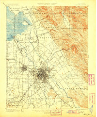
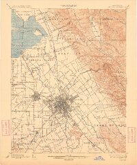
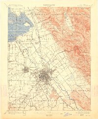
Other maps of this area

1889 · San Jose
USGS Topo · 1:62,500

1897 · San Jose
USGS Topo · 1:62,500

1897 · Mt. Hamilton
USGS Topo · 1:62,500

1897 · Palo Alto
USGS Topo · 1:62,500

1899 · San Jose
USGS Topo · 1:62,500

1899 · Palo Alto
USGS Topo · 1:62,500

1899 · Haywards
USGS Topo · 1:62,500

1902 · Santa Cruz
USGS Topo · 1:125,000

1906 · Pleasanton
USGS Topo · 1:62,500

1907 · Tesla
USGS Topo · 1:62,500