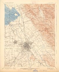
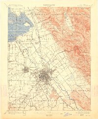
1899 Map of San Jose
USGS Topo · Published 1926About this map
San Jose and the Santa Clara valley appear here in a transition from nineteenth-century Mexican land grant legacies to an established rail and agricultural corridor. The landscape is defined by vast tracts and ranchos, including Potrero de Santa Clara, Yerba Buena, and Rincon de los Esteros, showing the colonial footprints that preceded the region's urban development. Along the Southern Pacific RR, smaller stations and communities like Milpitas, Agnew, and Edenvale punctuate the orchards and fields, while the Guadalupe River and Coyote Creek flow toward the tidal marshes of Guadalupe Slough. Significant public institutions are documented near the settlements, including the Asylum near Agnew, the County Infirmary, and the Santa Clara Co Alms House, providing a record of the area's social infrastructure at the end of the century.
Find a feature on this map
67 named features on this map. Tap any name to fly to it.
Don’t see what you’re looking for? This feature index may not catch every label — zoom into the map to look around manually.
Map Details
Editions of this 1899 San Jose Map
6 editions found
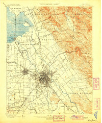
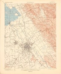
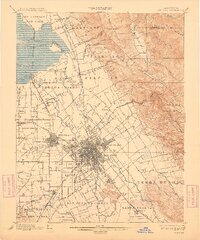
Other maps of this area

1889 · San Jose
USGS Topo · 1:62,500

1897 · San Jose
USGS Topo · 1:62,500

1897 · Mt. Hamilton
USGS Topo · 1:62,500

1897 · Palo Alto
USGS Topo · 1:62,500

1899 · San Jose
USGS Topo · 1:62,500

1899 · Palo Alto
USGS Topo · 1:62,500

1899 · Haywards
USGS Topo · 1:62,500

1902 · Santa Cruz
USGS Topo · 1:125,000

1906 · Pleasanton
USGS Topo · 1:62,500

1907 · Tesla
USGS Topo · 1:62,500