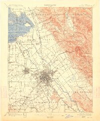
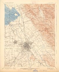
1899 Map of San Jose
USGS Topo · Published 1913About this map
Large Mexican land grant boundaries, such as Potrero de Santa Clara and Rincon de los Esteros, still define the landscape of the Santa Clara Valley in this late 19th-century survey. The urban core of San Jose is shown with a dense street grid, flanked by outlying communities like East San Jose and Willow Glen. The region's early institutional history is clearly marked, featuring the Santa Clara Co Alms House, the County Infirmary, and an Asylum near Agnew.
Find a feature on this map
75 named features on this map. Tap any name to fly to it.
Don’t see what you’re looking for? This feature index may not catch every label — zoom into the map to look around manually.
Map Details
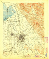
Editions of this 1899 San Jose Map
6 editions found
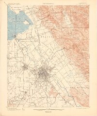
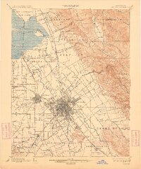
Other maps of this area

1889 · San Jose
USGS Topo · 1:62,500

1897 · San Jose
USGS Topo · 1:62,500

1897 · Mt. Hamilton
USGS Topo · 1:62,500

1897 · Palo Alto
USGS Topo · 1:62,500

1899 · San Jose
USGS Topo · 1:62,500

1899 · Palo Alto
USGS Topo · 1:62,500

1899 · Haywards
USGS Topo · 1:62,500

1902 · Santa Cruz
USGS Topo · 1:125,000

1906 · Pleasanton
USGS Topo · 1:62,500

1907 · Tesla
USGS Topo · 1:62,500