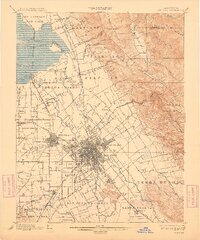
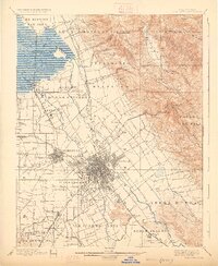
1899 Map of San Jose
USGS Topo · Published 1909About this map
San Jose and Santa Clara anchor this late nineteenth-century survey of the Santa Clara Valley, showing a landscape defined by expansive land grants and a burgeoning rail network. Large historic tracts such as Potrero de Santa Clara, Ulistac, and Rincon de los Esteros dominate the valley floor, reflecting the area's Mexican land grant heritage. The Southern Pacific railroad and its various branches, including the New Almaden Branch and San Jose Branch, connect established agricultural hubs like Milpitas, Alviso, and Campbell. Notable institutional landmarks of the era are clearly marked, including the Asylum near Agnew, the Santa Clara Co Alms House, and the County Infirmary. To the east, the terrain rises sharply into the Los Buellis Hills and Canada de Pala, while the northern reaches show the complex tidal marshes of the Coyote River and Mud Slough near the bay.
Find a feature on this map
72 named features on this map. Tap any name to fly to it.
Don’t see what you’re looking for? This feature index may not catch every label — zoom into the map to look around manually.
Map Details
Editions of this 1899 San Jose Map
6 editions found
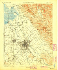
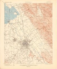
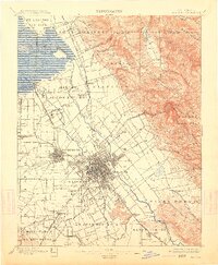
Other maps of this area

1889 · San Jose
USGS Topo · 1:62,500

1897 · San Jose
USGS Topo · 1:62,500

1897 · Mt. Hamilton
USGS Topo · 1:62,500

1897 · Palo Alto
USGS Topo · 1:62,500

1899 · San Jose
USGS Topo · 1:62,500

1899 · Palo Alto
USGS Topo · 1:62,500

1899 · Haywards
USGS Topo · 1:62,500

1902 · Santa Cruz
USGS Topo · 1:125,000

1906 · Pleasanton
USGS Topo · 1:62,500

1907 · Tesla
USGS Topo · 1:62,500