
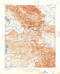
1917 Map of San Juan Bautista
USGS Topo · Published 1917About this map
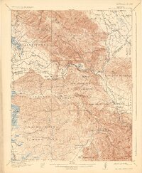
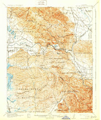
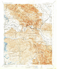
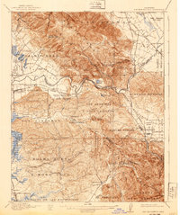
Mission San Juan Bautista anchors this 1915 survey of the Central Coast, where the valleys of Santa Clara, San Benito, and Monterey counties converge. The landscape is defined by large historical land grants including Las Animas, Salsipuedes, and Los Carneros, reflecting the area's deep Spanish and Mexican heritage. The Southern Pacific railroad corridor serves as a vital artery, connecting agricultural hubs like Watsonville and Aromas while navigating the dramatic Pajaro Gap alongside the Pajaro River.
Find a feature on this map
91 named features on this map. Tap any name to fly to it.
Don’t see what you’re looking for? This feature index may not catch every label — zoom into the map to look around manually.
Map Details
Editions of this 1917 San Juan Bautista Map
6 editions found
Other maps of this area

1910 · Salinas
USGS Topo · 1:31,680

1912 · Salinas
USGS Topo · 1:62,500

1912 · Capitola
USGS Topo · 1:62,500

1913 · Monterey
USGS Topo · 1:62,500

1914 · Capitola
USGS Topo · 1:62,500

1915 · San Juan Bautista
USGS Topo · 1:48,000

1916 · New Almaden
USGS Topo · 1:48,000

1917 · Morgan Hill
USGS Topo · 1:62,500

1919 · Hollister
USGS Topo · 1:48,000

1919 · New Almaden
USGS Topo · 1:62,500