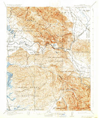
1917 Map of San Juan Bautista
USGS Topo · Published 1932About this map
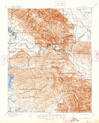
Mission San Juan Bautista anchors the southeastern corner of this landscape, where the Southern Pacific railroad cuts through the terrain near the San Benito River. The map highlights a complex system of Mexican land grants, or ranchos, such as Las Animas, Salsipuedes, and Lomerias Muertas, which dictate the rural property boundaries and settlement patterns of the early twentieth century. These historical divisions contrast with the emerging industrial and social infrastructure of the time, including the Cement Works and the St Francis Orphan Asylum.
Find a feature on this map
97 named features on this map. Tap any name to fly to it.
Don’t see what you’re looking for? This feature index may not catch every label — zoom into the map to look around manually.
Map Details
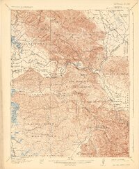
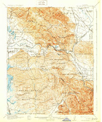
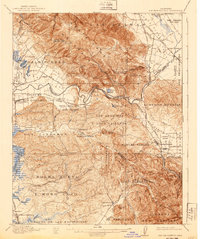
Editions of this 1917 San Juan Bautista Map
6 editions found
Other maps of this area

1910 · Salinas
USGS Topo · 1:31,680

1912 · Salinas
USGS Topo · 1:62,500

1912 · Capitola
USGS Topo · 1:62,500

1913 · Monterey
USGS Topo · 1:62,500

1914 · Capitola
USGS Topo · 1:62,500

1915 · San Juan Bautista
USGS Topo · 1:48,000

1916 · New Almaden
USGS Topo · 1:48,000

1917 · Morgan Hill
USGS Topo · 1:62,500

1917 · San Juan Bautista
USGS Topo · 1:62,500

1919 · Hollister
USGS Topo · 1:48,000