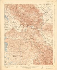
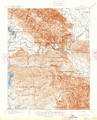
1917 Map of San Juan Bautista
USGS Topo · Published 1925About this map
Mission San Juan Bautista anchors this survey of the valley floor and surrounding coastal ranges during the early twentieth century. The landscape is defined by its deep Spanish and Mexican heritage, evidenced by the vast land grants like Salsipuedes, Los Vergeles, and La Natividad that still structured local geography decades after their inception. The Southern Pacific railroad follows the Pajaro River through the Pajaro Gap, a critical transit corridor connecting the coastal plains near Watsonville to the interior valleys.
Find a feature on this map
89 named features on this map. Tap any name to fly to it.
Don’t see what you’re looking for? This feature index may not catch every label — zoom into the map to look around manually.
Map Details
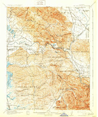
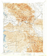
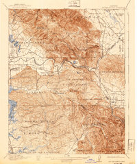
Editions of this 1917 San Juan Bautista Map
6 editions found
Other maps of this area

1910 · Salinas
USGS Topo · 1:31,680

1912 · Salinas
USGS Topo · 1:62,500

1912 · Capitola
USGS Topo · 1:62,500

1913 · Monterey
USGS Topo · 1:62,500

1914 · Capitola
USGS Topo · 1:62,500

1915 · San Juan Bautista
USGS Topo · 1:48,000

1916 · New Almaden
USGS Topo · 1:48,000

1917 · Morgan Hill
USGS Topo · 1:62,500

1917 · San Juan Bautista
USGS Topo · 1:62,500

1919 · Hollister
USGS Topo · 1:48,000