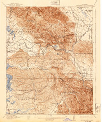
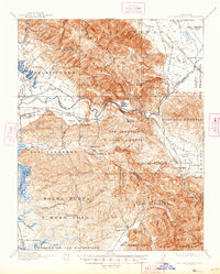
1917 Map of San Juan Bautista
USGS Topo · Published 1940About this map
Mission San Juan Bautista and the adjacent Patrick Breen park define the historic core of this region, where the Gabilan Range meets the agricultural valleys of the central coast. Surveyed in 1915, the map documents a landscape transitioning into a rail-connected industrial and farming hub. The Southern Pacific railroad is a dominant feature, linking vital centers like Watsonville Junction and Sargent, the latter of which sits near the Sargent Oil Fields.
Find a feature on this map
95 named features on this map. Tap any name to fly to it.
Don’t see what you’re looking for? This feature index may not catch every label — zoom into the map to look around manually.
Map Details
Editions of this 1917 San Juan Bautista Map
6 editions found
Other maps of this area

1910 · Salinas
USGS Topo · 1:31,680

1912 · Salinas
USGS Topo · 1:62,500

1912 · Capitola
USGS Topo · 1:62,500

1913 · Monterey
USGS Topo · 1:62,500

1914 · Capitola
USGS Topo · 1:62,500

1915 · San Juan Bautista
USGS Topo · 1:48,000

1916 · New Almaden
USGS Topo · 1:48,000

1917 · Morgan Hill
USGS Topo · 1:62,500

1917 · San Juan Bautista
USGS Topo · 1:62,500

1919 · Hollister
USGS Topo · 1:48,000