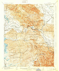
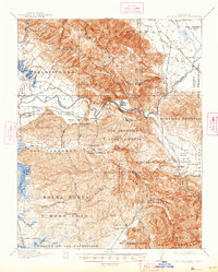
1917 Map of San Juan Bautista
USGS Topo · Published 1931About this map
Mission San Juan Bautista and the adjacent Patrick Breen property anchor the historic center of this region where the Santa Cruz Mountains meet the Gabilan Range. The landscape is a complex series of Mexican land grants, or Bolsas, such as Salsipuedes and Bolsa de San Cayetano, reflecting the deep Spanish and Mexican heritage of the area. Industrial activity is visible at the Sargent Oil Fields and the Cement Works near the San Juan Bautista townsite.
Find a feature on this map
91 named features on this map. Tap any name to fly to it.
Don’t see what you’re looking for? This feature index may not catch every label — zoom into the map to look around manually.
Map Details
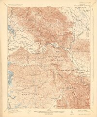
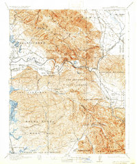
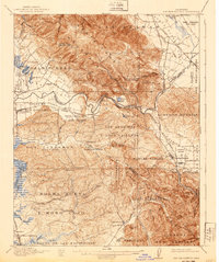
Editions of this 1917 San Juan Bautista Map
6 editions found
Other maps of this area

1910 · Salinas
USGS Topo · 1:31,680

1912 · Salinas
USGS Topo · 1:62,500

1912 · Capitola
USGS Topo · 1:62,500

1913 · Monterey
USGS Topo · 1:62,500

1914 · Capitola
USGS Topo · 1:62,500

1915 · San Juan Bautista
USGS Topo · 1:48,000

1916 · New Almaden
USGS Topo · 1:48,000

1917 · Morgan Hill
USGS Topo · 1:62,500

1917 · San Juan Bautista
USGS Topo · 1:62,500

1919 · Hollister
USGS Topo · 1:48,000