
1940 Map of San Loranzo Creek
USGS Topo · Published 1958About this map
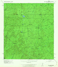
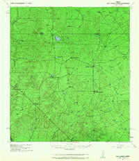
The boundary between Dimmit and Webb Counties cuts through a landscape defined by expansive ranching operations and vital water catchments at the dawn of the 1940s. Established landmarks like Brown Ranch, Espejo Ranch, and Roberts Ranch anchor the territory, connected by a network of unimproved roads and survey lines. The terrain is marked by the presence of numerous engineered water features such as Ojita Tank, Tordillo Tank, and Espita Tank, which were essential for supporting livestock in this brush-country environment. The hydrology is dominated by the drainage systems of San Lorenzo Creek and Espada Creek, while the southern reaches of the map approach the Rio Grande. Cultural markers including Ruins in the northwest and the remote Goat Camp suggest the varied history of land use and temporary settlement in this portion of South Texas.
Find a feature on this map
21 named features on this map. Tap any name to fly to it.
Don’t see what you’re looking for? This feature index may not catch every label — zoom into the map to look around manually.
Map Details
Editions of this 1940 San Loranzo Creek Map
3 editions found
Other maps of this area

1923 · Palafox
USGS Topo · 1:62,500

1929 · Cotulla
USGS Topo · 1:125,000

1932 · Valley Wells
USGS Topo · 1:62,500

1940 · Asherton
USGS Topo · 1:62,500

1940 · Velenzuela Creek
USGS Topo · 1:62,500

1940 · Catarina
USGS Topo · 1:62,500

1940 · Chupadera
USGS Topo · 1:62,500

1941 · Botella Creek
USGS Topo · 1:62,500

1953 · Crystal City
USGS Topo · 1:250,000

1955 · Crystal City
USGS Topo · 1:250,000