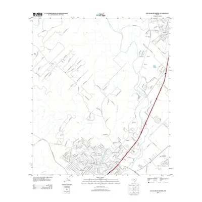
2013 Map of San Marcos North
USGS Topo · Published 2013About this map
The Blanco River and San Marcos River converge in this 2013 landscape, defining a corridor of rapid growth between the settlements of Kyle and Centex. This modern survey details the transition from rural hill country estates like Marton Ranch to dense urban planning near the river headwaters at Spring Lake. Historians can trace the preserved heritage of the region through the Hays County Courthouse Historic District and the Belvin Street Historic District, which anchor the southern end of the map.
Find a feature on this map
179 named features on this map. Tap any name to fly to it.
Don’t see what you’re looking for? This feature index may not catch every label — zoom into the map to look around manually.
Map Details
Editions of this 2013 San Marcos North Map
This is the sole edition of this map. No revisions or reprints were ever made.
Other maps of this area

1887 · Blanco
USGS Topo · 1:125,000

1894 · Blanco
USGS Topo · 1:125,000

1896 · Austin
USGS Topo · 1:125,000

1897 · Austin
USGS Topo · 1:125,000

1910 · Austin
USGS Topo · 1:125,000

1911 · San Marcos
USGS Topo · 1:125,000

1919 · San Marcos
USGS Topo · 1:125,000

1929 · Hunter
USGS Topo · 1:62,500

1953 · Seguin
USGS Topo · 1:250,000

1954 · Llano
USGS Topo · 1:250,000