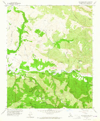
1959 Map of San Marcos Pass
USGS Topo · Published 1964About this map
Santa Ynez Mountains terrain dominates this late 1950s survey, showing a landscape defined by sharp canyons and the drainage of the Santa Ynez River. The presence of the San Marcos Sch, San Marcos Ranch, and several established campgrounds like Fremont Campground and Los Prietos Campground indicates a region transitioning into a recreational and residential corridor. Transportation is anchored by San Marcos Pass, while high-elevation routes like West Camino Cielo and East Camino Cielo trace the ridgelines. Significant backcountry infrastructure is evident through the Los Prietos Ranger Sta and various radio facilities, including a Radio Range Station in the southeast. Cultural landmarks such as Indian Cave and Painted Cave highlight the area's geological and archaeological interest within the Los Padres National Forest.
Find a feature on this map
69 named features on this map. Tap any name to fly to it.
Don’t see what you’re looking for? This feature index may not catch every label — zoom into the map to look around manually.
Map Details
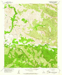
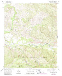
Editions of this 1959 San Marcos Pass Map
3 editions found
Other maps of this area

1902 · Santa Ynez
USGS Topo · 1:125,000

1905 · Santa Ynez
USGS Topo · 1:125,000

1941 · San Rafael Mtn.
USGS Topo · 1:62,500

1942 · Goleta
USGS Topo · 1:62,500

1942 · San Rafael Mtn.
USGS Topo · 1:62,500

1942 · Little Pine Mountain
USGS Topo · 1:24,000

1943 · Big Pine Mountain
USGS Topo · 1:31,680

1943 · San Rafael Mtn.
USGS Topo · 1:62,500

1944 · Santa Barbara
USGS Topo · 1:31,680
1944 · Big Pine Mtn
USGS Topo · 1:31,680