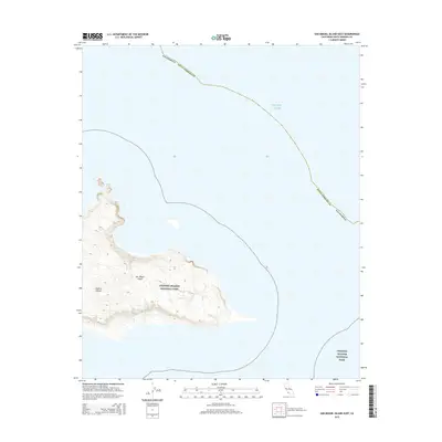
2015 Map of San Miguel Island East
USGS Topo · Published 2015About this map
San Miguel Island rises from the surrounding Pacific Ocean in this 2015 topographic study of the eastern portion of the landmass. Located within Channel Islands National Park, the island's eastern reaches are defined by a complex series of coastal contours that reveal the topography of its shoreline and interior ridges. This map specifically documents the boundary of Santa Barbara County as it extends into the waters of the Channel Islands archipelago. The lack of infrastructure or modern settlements on this portion of the island highlights its managed status as a federal wilderness area, where the primary features are the natural elevation changes and the marine interface of the California coast.
Find a feature on this map
6 named features on this map. Tap any name to fly to it.
Don’t see what you’re looking for? This feature index may not catch every label — zoom into the map to look around manually.
Map Details
Editions of this 2015 San Miguel Island East Map
This is the sole edition of this map. No revisions or reprints were ever made.
Other maps of this area
1943 · Santa Rosa Island West
USGS Topo · 1:24,000
1943 · San Miguel Island West
USGS Topo · 1:24,000
1943 · San Miguel Island East
USGS Topo · 1:24,000

1948 · Santa Maria
USGS Topo · 1:250,000
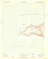
1950 · San Miguel Island West
USGS Topo · 1:24,000
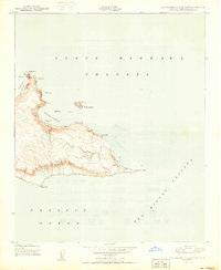
1950 · San Miguel Island East
USGS Topo · 1:24,000

1956 · Santa Maria
USGS Topo · 1:250,000

1957 · Santa Maria
USGS Topo · 1:250,000

1958 · Santa Maria
USGS Topo · 1:250,000

1962 · Santa Maria
USGS Topo · 1:250,000