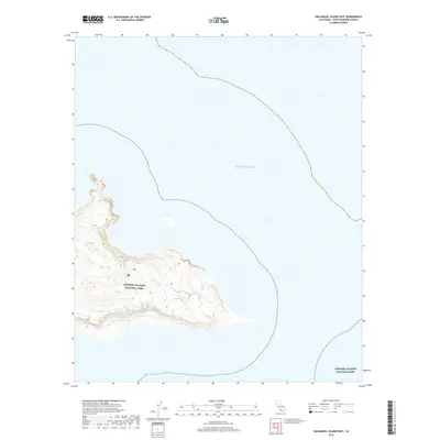
2018 Map of San Miguel Island East
USGS Topo · Published 2018About this map
Channel Islands National Park occupies the rugged eastern extremity of San Miguel Island in this 2018 topographic survey. The landscape is defined by the stark isolation of the island as it meets the Pacific Ocean, with sharp elevation contours illustrating the steep sea cliffs and ridgelines characteristic of this protected marine environment. The lack of roads or established settlements on the sheet reflects the preservation status of the area, which is managed by the U.S. Geological Survey and other federal agencies. Researchers can trace the fine coastal topography and the distinct boundary lines that delineate this national treasure from the surrounding open waters, offering a clear record of the island's geography before recent climatic shifts and coastal erosion might alter these prehistoric landforms.
Find a feature on this map
2 named features on this map. Tap any name to fly to it.
Don’t see what you’re looking for? This feature index may not catch every label — zoom into the map to look around manually.
Map Details
Editions of this 2018 San Miguel Island East Map
This is the sole edition of this map. No revisions or reprints were ever made.
Other maps of this area
1943 · Santa Rosa Island West
USGS Topo · 1:24,000
1943 · San Miguel Island West
USGS Topo · 1:24,000
1943 · San Miguel Island East
USGS Topo · 1:24,000

1948 · Santa Maria
USGS Topo · 1:250,000
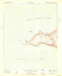
1950 · San Miguel Island West
USGS Topo · 1:24,000
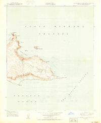
1950 · San Miguel Island East
USGS Topo · 1:24,000

1956 · Santa Maria
USGS Topo · 1:250,000

1957 · Santa Maria
USGS Topo · 1:250,000

1958 · Santa Maria
USGS Topo · 1:250,000

1962 · Santa Maria
USGS Topo · 1:250,000