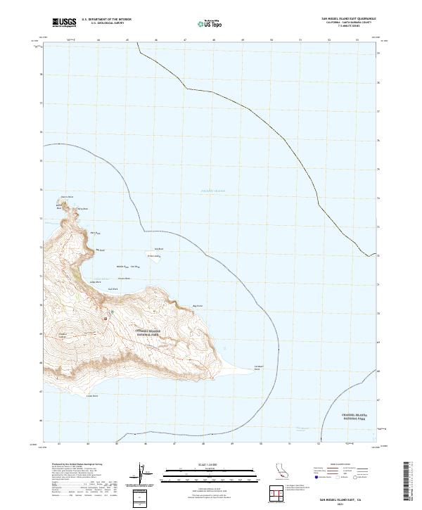
2021 Map of San Miguel Island East
USGS Topo · Published 2021About this map
Prince Island stands as a prominent offshore landmark within the eastern reaches of the Channel Islands National Park. This 2021 survey documents the complex maritime geography of the island's eastern coastline, where numerous named rocky outcrops like Bat Rock, Hare Rock, and Middle Rock dot the approach to Cuyler Harbor. The landscape is defined by its exposed points and coves, linked by a network of established paths including the Harris Point Trl and the Cardwell Point Trl. These trails offer a structured glimpse into the island's interior topography, leading from the higher elevations down to the edges of the Pacific Ocean at Bay Point and the southeastern extremity of Cardwell Point. The map serves as a contemporary record of this protected coastal environment, emphasizing the natural features and preservation boundaries that characterize this part of the Channel Islands.
Find a feature on this map
25 named features on this map. Tap any name to fly to it.
Don’t see what you’re looking for? This feature index may not catch every label — zoom into the map to look around manually.
Map Details
Editions of this 2021 San Miguel Island East Map
This is the sole edition of this map. No revisions or reprints were ever made.
Other maps of this area
1943 · Santa Rosa Island West
USGS Topo · 1:24,000
1943 · San Miguel Island West
USGS Topo · 1:24,000
1943 · San Miguel Island East
USGS Topo · 1:24,000

1948 · Santa Maria
USGS Topo · 1:250,000
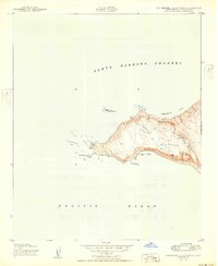
1950 · San Miguel Island West
USGS Topo · 1:24,000
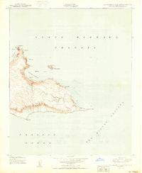
1950 · San Miguel Island East
USGS Topo · 1:24,000

1956 · Santa Maria
USGS Topo · 1:250,000

1957 · Santa Maria
USGS Topo · 1:250,000

1958 · Santa Maria
USGS Topo · 1:250,000

1962 · Santa Maria
USGS Topo · 1:250,000