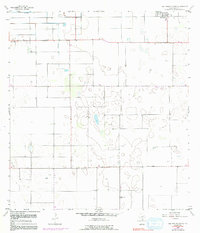
1956 Map of San Perlita South
USGS Topo · Published 1991About this map
San Perlita anchors the northeastern corner of this coastal plain landscape in Willacy County, where the agricultural grid meets the subtle lowlands of the Gulf Coast. The map reveals a transition from organized farmland to a more variable terrain of depressions and intermittent water features, characteristic of the region before modern drainage projects fully altered the surface. Industrial activity is represented by the Los Coyotes Gin to the south, highlighting the area's historical reliance on cotton production. Rural life is etched into the landscape via a small Cem and several specialized transport features, including a Landing Strip and the well-defined Red Fish Bay Road leading toward the coast. These elements together document a mid-century Texas ranching and farming community as it balanced land use with the natural hydrology of the Rio Grande Valley periphery.
Find a feature on this map
8 named features on this map. Tap any name to fly to it.
Don’t see what you’re looking for? This feature index may not catch every label — zoom into the map to look around manually.
Map Details
Editions of this 1956 San Perlita South Map
3 editions found
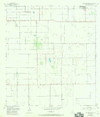
Other maps of this area

1921 · Tarida Ranch
USGS Topo · 1:62,500

1922 · La Sal Vieja
USGS Topo · 1:62,500

1929 · Santa Rosa
USGS Topo · 1:24,000

1932 · Combes
USGS Topo · 1:31,680

1933 · Santa Rosa
USGS Topo · 1:31,680

1933 · Paso Real
USGS Topo · 1:31,680

1953 · Brownsville
USGS Topo · 1:250,000

1956 · San Perlita South
USGS Topo · 1:24,000

1956 · San Perlita North
USGS Topo · 1:24,000

1956 · Santa Rosa
USGS Topo · 1:24,000