
1941 Map of San Rafael Mtn.
USGS Topo · Published 1955About this map
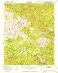
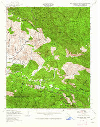
Los Padres National Forest dominates this 1941 landscape, where the San Rafael Mountains and Santa Ynez Mountains define a territory of high ridges and deep canyons. The Santa Ynez River carves through the southern half of the sheet, serving as a primary corridor for early ranching and travel. Significant landholdings and historical sites are scattered along the river valley and mountain flanks, including Rancho San Fernando Rey, San Marcos Ranch, and the Storke Ranch.
Find a feature on this map
61 named features on this map. Tap any name to fly to it.
Don’t see what you’re looking for? This feature index may not catch every label — zoom into the map to look around manually.
Map Details
Editions of this 1941 San Rafael Mtn. Map
3 editions found
Other maps of this area

1902 · Santa Ynez
USGS Topo · 1:125,000

1905 · Santa Ynez
USGS Topo · 1:125,000

1905 · Lompoc
USGS Topo · 1:125,000

1941 · McPherson Peak
USGS Topo · 1:62,500

1942 · Lompoc
USGS Topo · 1:125,000

1942 · Gaviota
USGS Topo · 1:62,500

1942 · Goleta
USGS Topo · 1:62,500

1942 · San Rafael Mtn.
USGS Topo · 1:62,500

1942 · Tepusquet Peak
USGS Topo · 1:62,500

1942 · Los Olivos
USGS Topo · 1:62,500