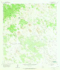
1963 Map of San Tomas Camp
USGS Topo · Published 1965About this map
The Encino Ranch and the eponymous San Tomas Camp anchor this 1963 survey of South Texas rangeland, characterized by a massive network of fenced pastures and water infrastructure. The landscape is a complex grid of grazing divisions like Los Muertos Pasture and Viboras Pasture, separated by Lucero Trap and Botella Trap zones. A vital system of windmills, including Encino Viejo Windmill, Guerritas Windmill, and Leoncitas Windmill, highlights the critical role of groundwater in sustaining life across this arid terrain. Topographical features such as Quiteria Hill overlook Quiteria Lake and the marshy edges of Laguna Salada, while numerous pumping stations and pipelines indicate a mid-century transition toward more industrial water management alongside traditional ranching practices.
Find a feature on this map
38 named features on this map. Tap any name to fly to it.
Don’t see what you’re looking for? This feature index may not catch every label — zoom into the map to look around manually.
Map Details
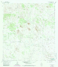
Editions of this 1963 San Tomas Camp Map
2 editions found
Other maps of this area

1921 · Falfurrias
USGS Topo · 1:125,000

1923 · Armstrong
USGS Topo · 1:62,500

1928 · Sarita
USGS Topo · 1:125,000

1949 · Mc Allen
USGS Topo · 1:250,000

1950 · Corpus Christi
USGS Topo · 1:250,000

1953 · Brownsville
USGS Topo · 1:250,000

1954 · McAllen
USGS Topo · 1:250,000

1954 · Sarita
USGS Topo · 1:62,500

1956 · Corpus Christi
USGS Topo · 1:250,000

1956 · Pita Camp
USGS Topo · 1:24,000