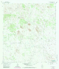
1963 Map of San Tomas Camp
USGS Topo · Published 1983About this map
Encino Ranch and the eponymous San Tomas Camp anchor this landscape in Brooks County, defined by the expansive grazing lands of the South Texas brush country. The map details a complex network of ranching infrastructure, where named pastures like Los Muertos Pasture and Viboras Pasture are partitioned by miles of pipelines and fence lines. This 1963 survey, with revisions from 1982, captures the intersection of traditional cattle ranching and the encroaching petroleum industry, marked by numerous Oil Wells and a central Pumping Sta.
Find a feature on this map
41 named features on this map. Tap any name to fly to it.
Don’t see what you’re looking for? This feature index may not catch every label — zoom into the map to look around manually.
Map Details
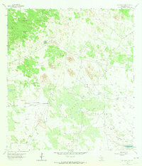
Editions of this 1963 San Tomas Camp Map
2 editions found
Other maps of this area

1921 · Falfurrias
USGS Topo · 1:125,000

1923 · Armstrong
USGS Topo · 1:62,500

1928 · Sarita
USGS Topo · 1:125,000

1949 · Mc Allen
USGS Topo · 1:250,000

1950 · Corpus Christi
USGS Topo · 1:250,000

1953 · Brownsville
USGS Topo · 1:250,000

1954 · McAllen
USGS Topo · 1:250,000

1954 · Sarita
USGS Topo · 1:62,500

1956 · Corpus Christi
USGS Topo · 1:250,000

1956 · Pita Camp
USGS Topo · 1:24,000