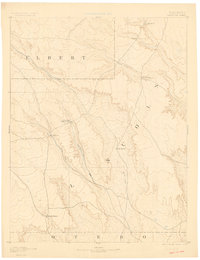
1893 Map of Sanborn
USGS Topo · Published 1900About this map
High plains cattle ranching and early settlement patterns define this late 19th-century landscape at the intersection of Elbert, Lincoln, and Otero counties. The central settlement of Sanborn serves as a focal point for a network of wagon trails and primitive roads that connect isolated operations like the Maryland Cattle Co. Ranch and Orcutt Ranch. This geography reflects an era when water availability dictated the viability of the range, with habitation sites clustered near the drainages of Horse Creek and Steel Fork. The transition from open range to deeded ranch land is visible in the placement of the Fody Ranch and Russell Ranch, located near the southern boundary. To the northeast, the terrain rises toward Rocky Point, providing a natural landmark above the valley of Rush Creek in an area that remained sparsely populated during this reconnaissance period.
Find a feature on this map
14 named features on this map. Tap any name to fly to it.
Don’t see what you’re looking for? This feature index may not catch every label — zoom into the map to look around manually.
Map Details
Editions of this 1893 Sanborn Map
4 editions found

Other maps of this area

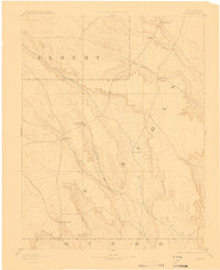
1889 · Sanborn
USGS Topo · 1:125,000

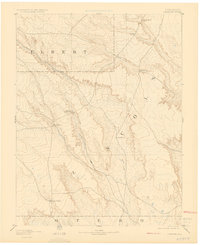
1891 · Sanborn
USGS Topo · 1:125,000

1891 · Catlin
USGS Topo · 1:125,000

1891 · Arroyo
USGS Topo · 1:125,000

1891 · Las Animas
USGS Topo · 1:125,000

1891 · Nepesta
USGS Topo · 1:125,000

1891 · Limon
USGS Topo · 1:125,000

1892 · Limon
USGS Topo · 1:125,000

1893 · Arroyo
USGS Topo · 1:125,000

1893 · Nepesta
USGS Topo · 1:125,000