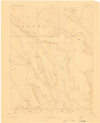
1893 Map of Sanborn
USGS Topo · Published 1910About this map
The High Plains of Eastern Colorado appear here as a land defined by early cattle ranching and sparse water sources, based on surveys conducted in 1889. The map centers on the small settlement of Sanborn and the expansive Maryland Cattle Co. Ranch, illustrating the dominance of the livestock industry in this arid corridor. The landscape is carved by seasonal drainages including Horse Creek and its tributary Little Horse Creek, which likely dictated the placement of isolated holdings like Fody Ranch and Orcutt Ranch. To the south, Steel Fork and the Russell Ranch mark the gradual transition toward the borders of Otero County. This document preserves the late-nineteenth-century geography of the region before more intensive settlement, focusing on the essential relationship between family-named landmarks and the critical water flow of Rush Creek in the northern reaches of Lincoln County.
Find a feature on this map
14 named features on this map. Tap any name to fly to it.
Don’t see what you’re looking for? This feature index may not catch every label — zoom into the map to look around manually.
Map Details
Editions of this 1893 Sanborn Map
4 editions found

Other maps of this area

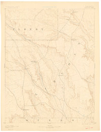
1889 · Sanborn
USGS Topo · 1:125,000

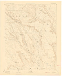
1891 · Sanborn
USGS Topo · 1:125,000

1891 · Catlin
USGS Topo · 1:125,000

1891 · Arroyo
USGS Topo · 1:125,000

1891 · Las Animas
USGS Topo · 1:125,000

1891 · Nepesta
USGS Topo · 1:125,000

1891 · Limon
USGS Topo · 1:125,000

1892 · Limon
USGS Topo · 1:125,000

1893 · Arroyo
USGS Topo · 1:125,000

1893 · Nepesta
USGS Topo · 1:125,000