
1893 Map of Sanborn
USGS Topo · Published 1893About this map
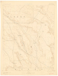
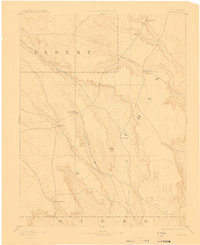
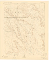
The high plains of eastern Colorado, as surveyed in 1889, reveal a landscape defined by an emerging cattle industry and the vital watercourses of the Arkansas River basin. Early cattle operations like the Maryland Cattle Co. Ranch, Orcutt Ranch, and Russell Ranch are positioned near primary drainages, illustrating the reliance of late 19th-century ranching on surface water. The settlement of Sanborn serves as a central point in this tri-county region where Elbert, Lincoln, and Otero boundaries meet. Topographically, the area is dissected by the Steel Fork and the winding paths of Horse Creek and Little Horse Creek. These ephemeral streams and the prominent rise of Rocky Point provided the only navigational landmarks for travelers and stockmen across this expansive prairie environment just before the turn of the century.
Find a feature on this map
13 named features on this map. Tap any name to fly to it.
Don’t see what you’re looking for? This feature index may not catch every label — zoom into the map to look around manually.
Map Details
Editions of this 1893 Sanborn Map
4 editions found
Other maps of this area

1889 · Sanborn
USGS Topo · 1:125,000

1891 · Sanborn
USGS Topo · 1:125,000

1891 · Catlin
USGS Topo · 1:125,000

1891 · Arroyo
USGS Topo · 1:125,000

1891 · Las Animas
USGS Topo · 1:125,000

1891 · Nepesta
USGS Topo · 1:125,000

1891 · Limon
USGS Topo · 1:125,000

1892 · Limon
USGS Topo · 1:125,000

1893 · Arroyo
USGS Topo · 1:125,000

1893 · Nepesta
USGS Topo · 1:125,000