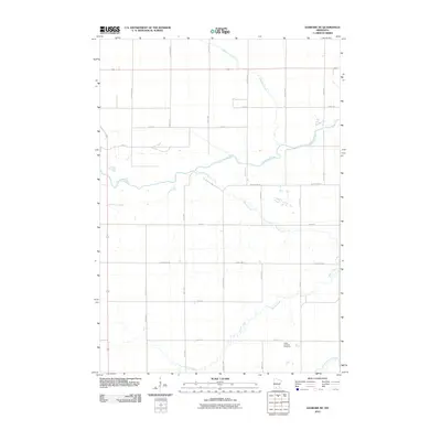
2010 Map of Sanborn NE
USGS Topo · Published 2010About this map
The Cottonwood River and its meandering tributaries dominate this agricultural landscape in Brown County, north of Springfield. The map reveals a strictly organized section-line road network, where routes like County Hwy-1 and County Hwy-2 partition the prairie into a grid of large farmsteads. Flowing from the west, the Mound Creek system creates a intricate drainage pattern as it joins the primary river valley. For those researching local heritage, the Christ Lutheran Cemetery serves as a significant landmark in the southeastern portion of the quadrangle. Small-scale water features like Coal Mine Creek and the Little Cottonwood River further define the local hydrology, reflecting a region where the natural watercourses still dictate the placement of rural infrastructure and agricultural boundaries.
Find a feature on this map
22 named features on this map. Tap any name to fly to it.
Don’t see what you’re looking for? This feature index may not catch every label — zoom into the map to look around manually.
Map Details
Editions of this 2010 Sanborn NE Map
This is the sole edition of this map. No revisions or reprints were ever made.
Other maps of this area

1953 · Morgan
USGS Topo · 1:62,500

1953 · New Ulm
USGS Topo · 1:250,000

1957 · New Ulm
USGS Topo · 1:250,000

1958 · New Ulm
USGS Topo · 1:250,000

1967 · New Ulm
USGS Topo · 1:250,000

1967 · Wanda
USGS Topo · 1:24,000

1967 · Sanborn
USGS Topo · 1:24,000

1967 · Clements SE
USGS Topo · 1:24,000

1967 · Sanborn SE
USGS Topo · 1:24,000

1967 · Springfield
USGS Topo · 1:24,000