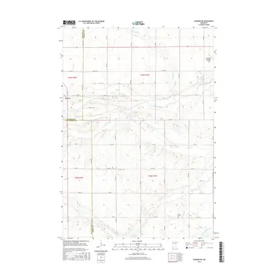
2016 Map of Sanborn NE
USGS Topo · Published 2016About this map
The Cottonwood River and Little Cottonwood River converge near the intersection of several Minnesota counties in this 2016 topographical study. The terrain is defined by its watercourses, including the meandering paths of Mound Cr and Coal Mine Cr, which cut through the agricultural grid. To the west, the village of Sanborn sits along the riverbank, while the eastern edge is marked by the Springfield Municipal Airport. This area represents a quiet rural landscape where modern infrastructure meets historical land divisions, as seen at the Christ Lutheran Cem. The map provides a detailed view of the township and range boundaries where Redwood, Brown, and Cottonwood counties meet, showing a dense network of local routes such as Magnolia Ave and Co Rd 2 that serve the outlying farms and homesteads.
Find a feature on this map
39 named features on this map. Tap any name to fly to it.
Don’t see what you’re looking for? This feature index may not catch every label — zoom into the map to look around manually.
Map Details
Editions of this 2016 Sanborn NE Map
This is the sole edition of this map. No revisions or reprints were ever made.
Other maps of this area

1953 · Morgan
USGS Topo · 1:62,500

1953 · New Ulm
USGS Topo · 1:250,000

1957 · New Ulm
USGS Topo · 1:250,000

1958 · New Ulm
USGS Topo · 1:250,000

1967 · New Ulm
USGS Topo · 1:250,000

1967 · Wanda
USGS Topo · 1:24,000

1967 · Sanborn
USGS Topo · 1:24,000

1967 · Clements SE
USGS Topo · 1:24,000

1967 · Sanborn SE
USGS Topo · 1:24,000

1967 · Springfield
USGS Topo · 1:24,000